Garafa, LLC GIS Kit for iPhone & iPad
Garafa, LLC GIS Kit for iPhone & iPad is a powerful geographic information system (GIS) tool that allows users to access and visualize spatial data on their mobile devices. The app provides advanced mapping features, such as the ability to overlay multiple layers of data, create custom maps, and perform geospatial analysis. Users can also import and export various file formats, including shapefiles, KML, and GeoJSON. With its user-friendly interface and robust functionality, GIS Kit is a valuable tool for professionals in fields such as urban planning, environmental management, and natural resource exploration. Whether in the field or in the office, GIS Kit empowers users to make informed decisions based on spatial data.

Garafa, LLC GIS Kit for iPhone & iPad is a powerful and versatile mapping and geographic information system (GIS) application that brings the power of spatial analysis and visualization to the palm of your hand. With its intuitive interface and robust feature set, GIS Kit is a must-have tool for professionals and enthusiasts alike.
At the core of GIS Kit is its ability to work with a wide range of spatial data formats, including shapefiles, KML, GeoJSON, and more. This means that users can easily import and export data from a variety of sources, allowing for seamless integration with existing workflows and systems. Whether you're working with data from a GPS receiver, a web service, or a desktop GIS application, GIS Kit has you covered.
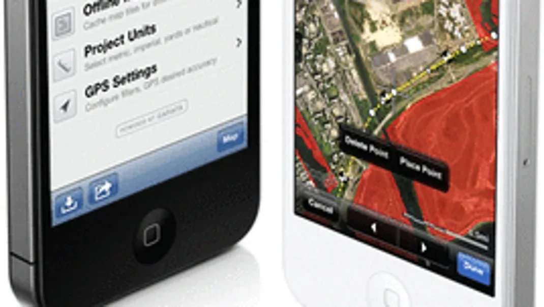
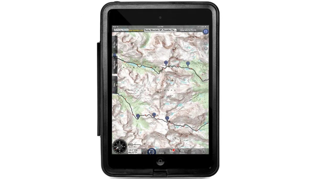
One of the standout features of GIS Kit is its support for offline mapping. This means that users can download and store maps on their device, allowing for access to critical information even when an internet connection is not available. This is particularly useful for fieldwork, where connectivity can be limited or unreliable. With GIS Kit, users can confidently navigate and collect data in remote locations, without worrying about losing access to their maps and spatial data.
In addition to its robust data handling capabilities, GIS Kit also offers a range of powerful analysis and visualization tools. For example, users can perform spatial queries to identify features within a given area, calculate distances and areas, and create custom map overlays. These tools are invaluable for tasks such as site selection, environmental monitoring, and infrastructure planning, where accurate and timely spatial analysis is crucial.
Furthermore, GIS Kit includes support for GPS tracking, allowing users to record their movements and collect location-based data in real time. This is especially useful for field surveys, asset management, and emergency response, where the ability to capture and analyze location data on the go can make all the difference. With GIS Kit, users can easily track their route, mark points of interest, and record geotagged photos, all within a single, integrated application.
Another key strength of GIS Kit is its flexibility and extensibility. The application supports a wide range of add-ons and plugins, allowing users to customize and extend its functionality to suit their specific needs. Whether you're looking to integrate with external hardware, access additional data sources, or create custom visualizations, GIS Kit provides the tools and resources to make it happen. This makes the application highly adaptable to a variety of use cases, from environmental monitoring and natural resource management to urban planning and public safety.
Furthermore, GIS Kit is designed with ease of use in mind, with a clean and intuitive interface that makes it easy to navigate and work with spatial data. The application is optimized for touch interaction, making it well-suited for use on iPhone and iPad devices. Whether you're a seasoned GIS professional or a casual user, GIS Kit provides a seamless and enjoyable experience for working with maps and spatial data.
In conclusion, Garafa, LLC GIS Kit for iPhone & iPad is a comprehensive and feature-rich GIS application that empowers users to work with spatial data in new and powerful ways. With its support for a wide range of data formats, offline mapping capabilities, powerful analysis tools, and extensibility through add-ons and plugins, GIS Kit is a versatile and indispensable tool for anyone who works with maps and geographic information. Whether you're conducting field surveys, planning infrastructure projects, or simply exploring the world around you, GIS Kit provides the tools and resources to make your work more effective and impactful.


