NAVIGATION-CALCULATING DISTANCE
Navigation and calculating distance is the process of determining the distance between two points on a map or the Earth's surface. This can be done using various methods such as GPS, compass, or measuring tools. It is an essential skill for travelers, hikers, and sailors to ensure they reach their destination accurately and safely. Calculating distance involves using mathematical formulas and tools to determine the length of a route or the distance between two points. Accurate navigation and distance calculation are vital for planning journeys, estimating travel time, and ensuring the safety of those on the move.

Navigation is the process of determining and following a route to a specific destination, and calculating distance is a crucial aspect of this process. Whether traveling by land, sea, or air, accurately calculating distance is essential for reaching the intended destination in a timely and efficient manner.
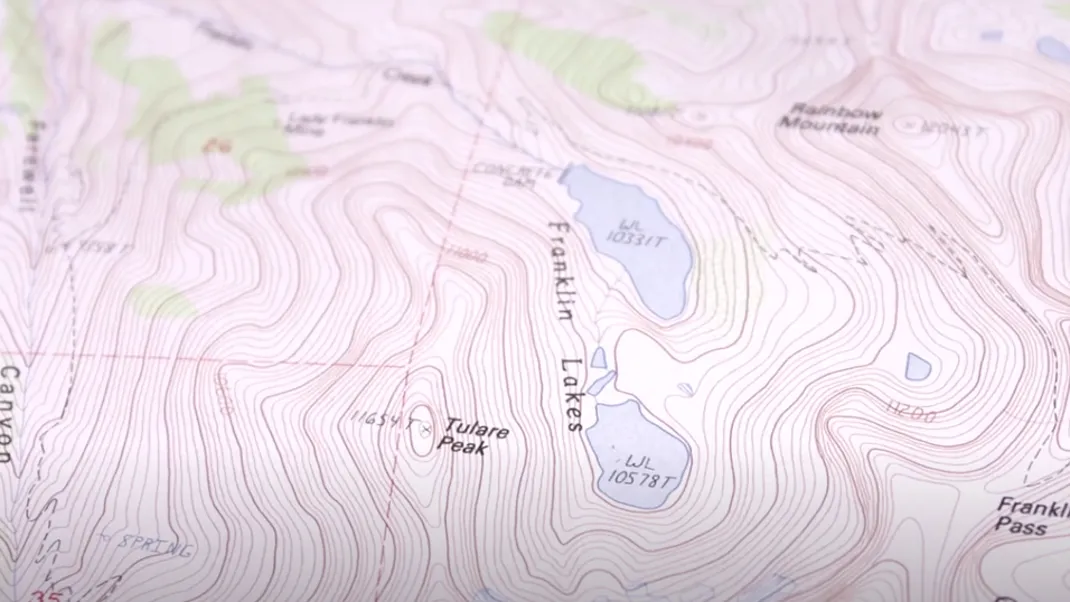
In the realm of navigation, there are various methods and tools used to calculate distance. One of the most common methods is using maps and charts to measure the distance between two points. This can be done by using a ruler or a pair of dividers to measure the distance on the map, or by using a chart plotter or GPS device to calculate the distance between two coordinates.
Another method of calculating distance is by using mathematical formulas and equations. For example, the distance between two points on the Earth's surface can be calculated using the haversine formula, which takes into account the curvature of the Earth. This formula uses the latitude and longitude of the two points to calculate the distance between them, taking into account the Earth's radius and the spherical geometry of the planet.
In addition to these methods, modern technology has provided navigation systems with advanced capabilities for calculating distance. Global Positioning System (GPS) devices, for example, use satellite signals to determine the user's exact location and calculate the distance to a specific destination. These devices can also provide real-time updates on the user's position and distance traveled, making navigation much more accurate and efficient.
Calculating distance is crucial for a variety of navigational purposes, including planning routes for travel, determining fuel consumption for vehicles, and ensuring the safety of sea and air travel. For land-based navigation, accurate distance calculations are essential for determining the most efficient and fastest routes to a destination. This is particularly important for commercial transportation, where time and fuel costs are significant factors in route planning.
For sea and air navigation, accurate distance calculations are even more critical due to the vast distances and potential hazards involved. Navigating across large bodies of water or through the sky requires precise distance calculations to ensure the safety and efficiency of the journey. In these cases, navigation systems must account for factors such as wind speed, currents, and potential obstacles to accurately calculate the distance to the destination.
In addition to calculating distance for travel and route planning, navigation systems also play a crucial role in emergency situations. Accurately determining the distance to the nearest land or emergency landing site can be a matter of life or death for pilots and sailors in distress. In these situations, navigation systems must provide accurate distance calculations to help guide the individuals to safety.
Furthermore, calculating distance also plays a vital role in military and defense operations. Military navigation systems must be capable of accurately calculating distances to targets and potential threats in order to plan and execute strategic maneuvers. Whether on land, at sea, or in the air, precise distance calculations are essential for the success of military operations.
In recent years, the development of autonomous vehicles has further emphasized the importance of accurate distance calculations in navigation. Self-driving cars, drones, and other autonomous vehicles rely on precise distance measurements to navigate their surroundings and reach their destinations safely. These vehicles use a combination of sensors, cameras, and GPS technology to calculate distances and make real-time navigation decisions.
In conclusion, calculating distance is a fundamental aspect of navigation, and it is essential for a wide range of purposes including travel, route planning, safety, and defense. Whether using traditional methods such as maps and charts, or modern technology such as GPS devices and autonomous vehicle systems, accurate distance calculations are crucial for successful navigation. As technology continues to advance, the ability to calculate distance with precision will only become more important in the field of navigation.


